
Capture Theory
- emersonharrop
- Nov 1, 2021
- 2 min read
Photogrammetry:
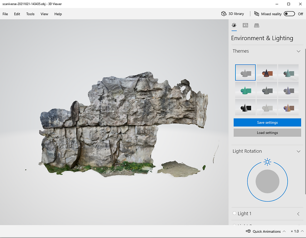
Photogrammetry uses photos to 3D co-ordinate and measure a subject a turn it into a 3D asset. Triangulation is the fundamental principle by taking multiple photos of a subject from different locations which allows "lines of sight" to be created of the subject at different angles. Because of these lines of sight's optical nature, they can then be mathematically intersected which creates 3D points of interest that forms the 3D model.
A point (the subject) is identified in multiple photos and the 3D software then starts to find the geometric intersection of the light rays and uses that to figure out where exactly that point is located within a 3D space. Point matching is when the 3D software has found the same point that is located in the same 3D location in multiple different photos. The name for this method is called triangulation.
When capturing photos for photogrammetry, it is important for the camera to have an appropriate field of view. The subject needs to both be fully covered whilst having as high a resolution as possible. despite these being two requirements that conflict with each other, this can be achieved by having the images over lapping each other. This means that each photo can cover a small part of the subject but will over lap with other photos that have been taken.
All the photos should be in the best possible quality and the subject should be well lit in order to get the best possible results.
LiDAR:
LiDAR is active remote sensing system which generates light itself in order to measure things on the ground. LiDAR systems emits light through a rapidly firing laser. This light then travels to the ground and reflects off of the subject being scanned. Once the light energy is reflected off of the subject, it then returns to the LiDAR sensor where it is recorded.
The time it takes the light to travel to and from is measured and used to calculate the distance travelled which is then converted to elevation. These measurements by components of the LiDAR system which includes a GPS to identify the X,Y,Z position of the light energy as well as an IMU (Internal Measurement Unit) which picks up the orientation of the sky plane.
The light energy is made from a collection of photons and these photons together make up light that moves down towards the ground and they hit object. As the light hits objects, some of it is reflected off of the object and returned to the sensor. On smaller objects that has gaps around it allowing light through, some of the light bounces off the small object with some going through the gaps. Sometimes, this can cause multiple reflections to be recorded as some are bouncing straight off of the object whilst some of it has continued down to the ground.

Comments